NEW UAV and Reality Capture Book 2026
Surveying Mapping Reality Capture
Flip through and discover a whole new world of everything UAV and Reality Capture! Click here.


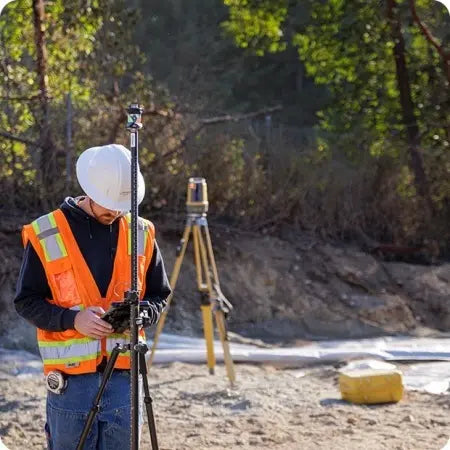
Discover the Possibilities with MC-Mobile
Triple the effectiveness of your compact equipment operators
We have combined key technology from surveying and machine control to increase efficiencies, while reducing wait times and staffing needs for your small and mid-sized jobsite projects. MC-Mobile equips you with everything you need to perform layout and in-field design to build your jobs and to verify the results.
Displays and other components are designed to be easily shared across numerous machines in owned or rental fleet environments. These pieces can also be moved from grade checking/layout rover pole to machine and back.
CLICK HERE for more information.
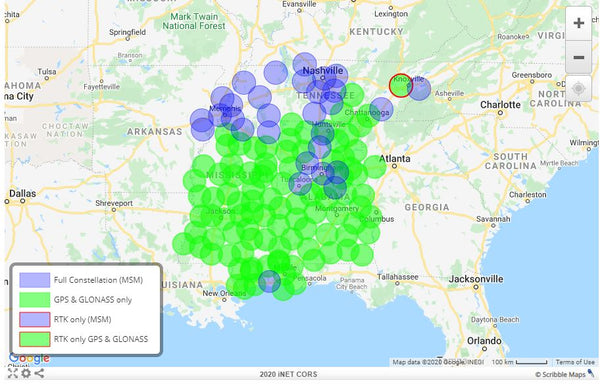
iNET Reference Station Network
NEW Interactive Map
Check your location and call us to receive the best internet-based GPS RTK service across the Southeast. The iNET provides network corrections that include data from both the Navstar and GLONASS satellite systems with portions of the network updated to also include the Galileo and BeiDou satellite systems(see above map). Every surveyor, GIS mapping provider, precision agriculture professional, and contractor working in the Southeast can benefit from this service. Click Here to view.
Sign up today.